Met Office issue thunderstorm warning for Derbyshire following high temperatures
and live on Freeview channel 276
The Met Office has issued a yellow weather warning for the whole of Derbyshire – including Chesterfield, Matlock, and Bolsover – between 12pm and 9pm today (Monday, June 12).
It follows a weekend of high temperatures across England and Wales – with temperatures in some parts of the country hitting more than 30°C.
Advertisement
Hide AdAdvertisement
Hide AdNow the Met Office is warning more than 30mm of rain could fall in the space of just one hour as ‘slow moving and intense’ thunderstorms are expected to break out later today.
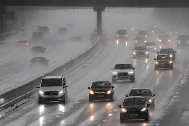

In issuing the weather warning, the Met Office says residents should be aware that homes and business could flood quickly, whilst spray and sudden flooding could lead to difficult driving conditions and some road closures.
A spokesperson for the Met Office said: “Thunderstorms and torrential downpours are expected to break out across central England and Wales during Monday. These will be slow moving and intense leading to some large accumulations with in excess of 30 mm in an hour for some locations and the potential for 60-80 mm or more in a few hours where thunderstorms align for a time. Frequent lightning and hail are likely to be additional hazards.”
In Chesterfield temperatures are expected to remain high throughout the week with highs of 27°C forecast for today: thunder and lightning is being forecast by the BBC to hit the town between 2pm and 6pm.
A similar weather warning was issued over the weekend with short, intense spells of rain and thunder experienced.